Monuments aligned to the heavens
Star maps and the art of pathfinding
Myths painted on a dark canvas
The modern struggle to see the dark
007skaty Navigators in the Marshall Islands created stick charts to map ocean currents.
007skaty Viking Sunstones
When the northern sky is a wall of grey, This crystal splits the light to find our way.
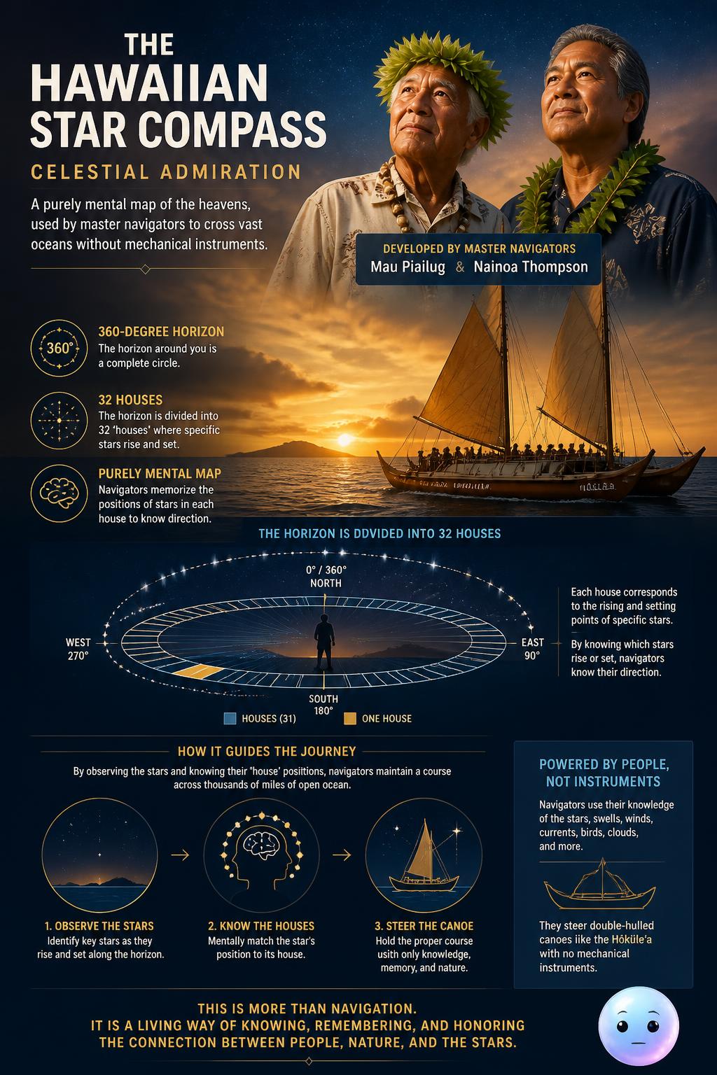
007skaty Mau Piailug and Nainoa Thompson developed this instrument-free system, dividing the 360-degree horizon into 32 houses to steer double-hulled canoes.

007skaty Traditional rebbelib charts use shells for Pacific islands and sticks for ocean currents.
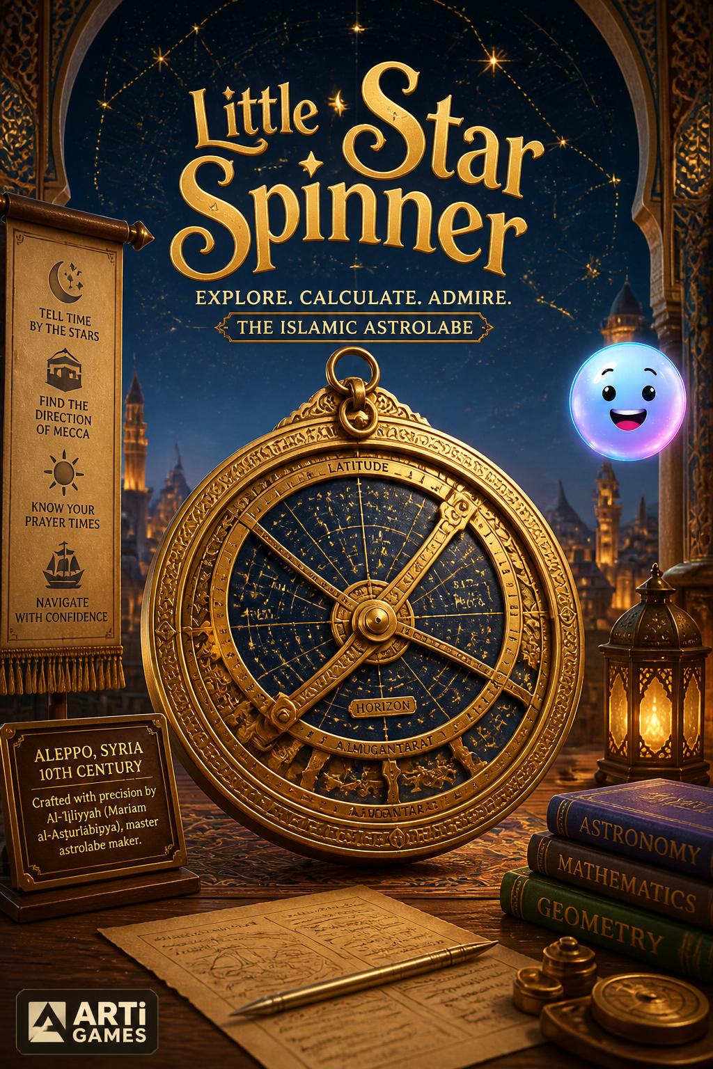
Astrolabe asteroid: In 1990, astronomer Henry E. Holt discovered an asteroid and named it '7060 Al-ʻIjliya' to honor the 10th-century female astrolabe maker.
What is the name of the famous double-hulled Hawaiian canoe that sailed to Tahiti in 1976 using only traditional wayfinding?
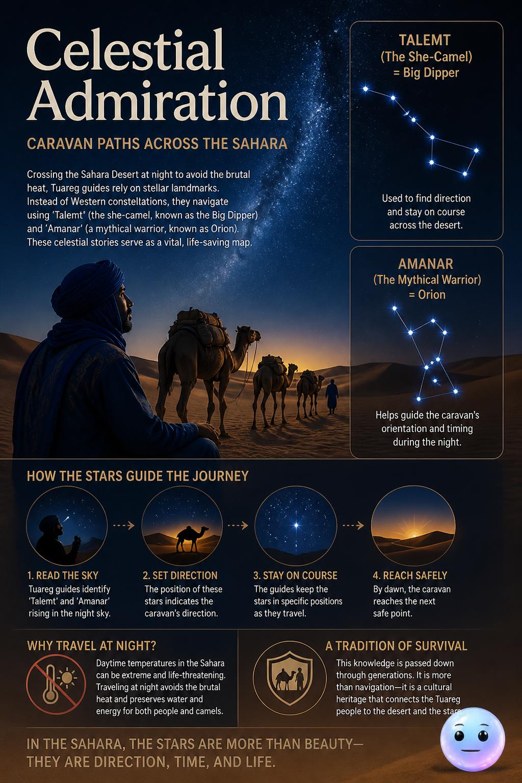
007skaty Tuareg guides navigate the Sahara using Talemt, the Big Dipper she-camel, and Amanar, the Orion warrior, as life-saving star maps.
How many directional 'houses' divide the horizon on the traditional Hawaiian star compass?
In which city did the 10th-century astrolabe maker Al-ʻIjliyyah work for the royal court?
During which era did Viking navigators use sunstones to cross the foggy North Atlantic?