Chapter 1
The flat myth and the ancient curve
Chapter 2
The spin that squashed the poles
Chapter 3
The lumpy gravity of the geoid
Chapter 4
Mapping a round world on a flat screen
YOUR GOAL
Master of The lumpy potato we call home
Ch 4 · Mapping a round world on a flat screen
007skaty Map Projections
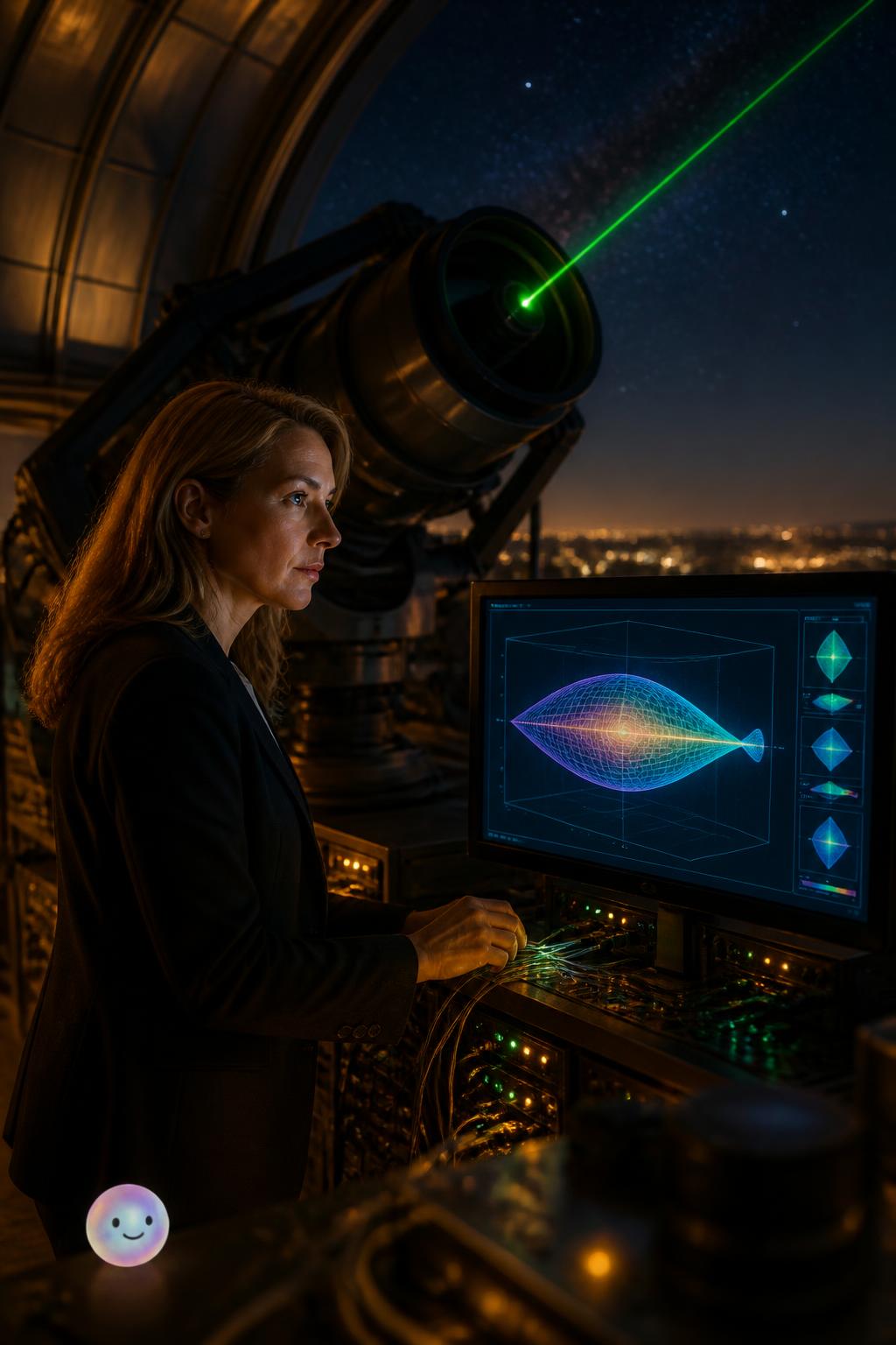
Because a sphere has positive curvature, you cannot map it flat without a little stretch.
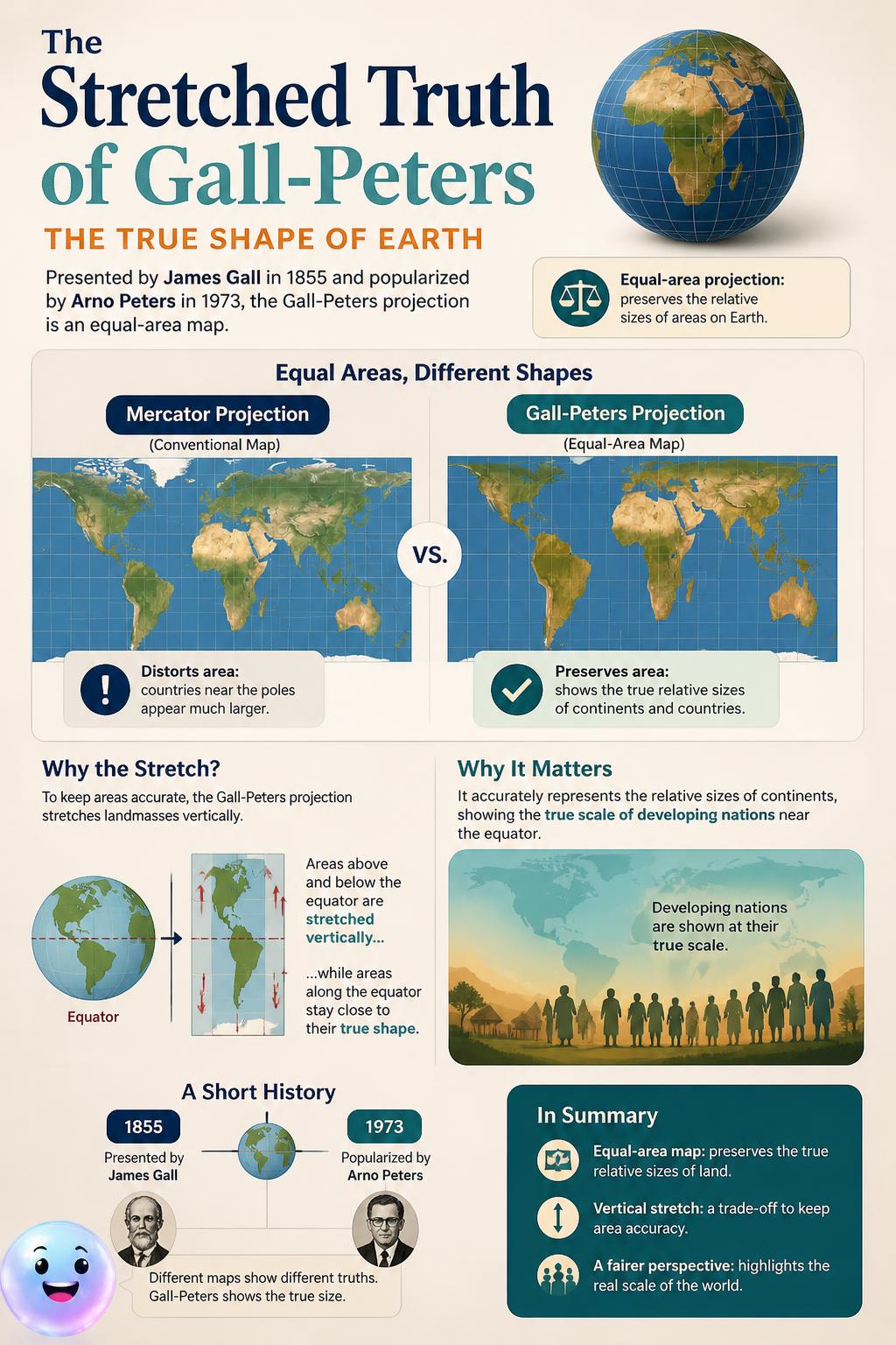
007skaty The 1855 equal-area projection, popularized in 1973, accurately scales developing nations near the equator by stretching landmasses vertically.

007skaty A glowing globe showing Earth's true shape stands beside a distorted cylindrical map.
BETA
007skaty Unwrap the globe to figure out why flat maps stretch and distort our planet.
Fun Fact
Greenland's true size: On a standard Mercator map, Greenland looks as large as Africa, but Africa is actually fourteen times larger!
Glossary
projection (noun)
The representation of a three-dimensional object or geometric figure on a two-dimensional plane. In 1569, Gerardus Mercator designed a revolutionary cylindrical method to assist sailors navigating the oceans.
The representation of a three-dimensional object or geometric figure on a two-dimensional plane. In 1569, Gerardus Mercator designed a revolutionary cylindrical method to assist sailors navigating the oceans.
Quiz
Which 1569 map projection is famous for preserving accurate navigation angles but distorting sizes?
Quiz
Why is it mathematically impossible to make a flat map of Earth without any distortion?
Quiz
Which map element is perfectly preserved by conformal map projections like the Mercator projection?
Quiz
What geometric shape does the Peirce quincuncial projection use to display the entire world?
Quiz
Which map projection, popularized in the 1970s, shows countries in their correct relative sizes?
Quiz
Who designed the quincuncial projection in 1877, placing the North Pole at the center of a square?