Mapping the wild Orinoco
Creatures of the deep clay
The pulse of the flooded forests
People of the water
YOUR GOAL
Master of Secrets of the winding Orinoco
schopenhauer Mapping the Orinoco River
Chart the Orinoco bend, / Watch the wild waters blend, / Amazon meets it at the end!
schopenhauer The Casiquiare Canal connects two massive South American river systems.
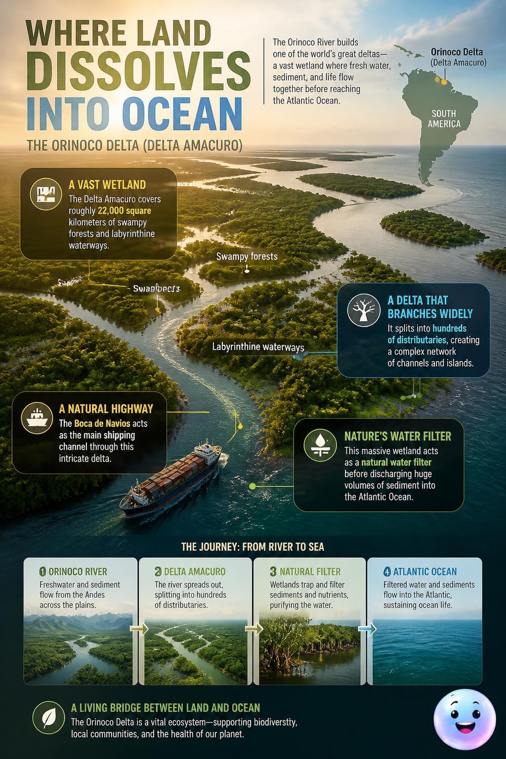
schopenhauer Hundreds of labyrinthine waterways and the Boca de Navios channel split the forest.
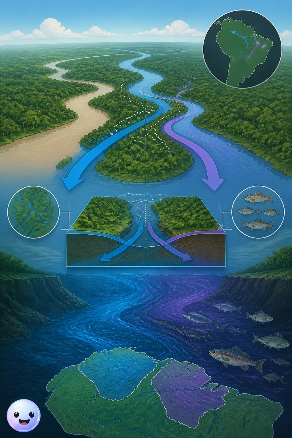
schopenhauer A precise, color-coded vector diagram shows the Orinoco River splitting at the Casiquiare.
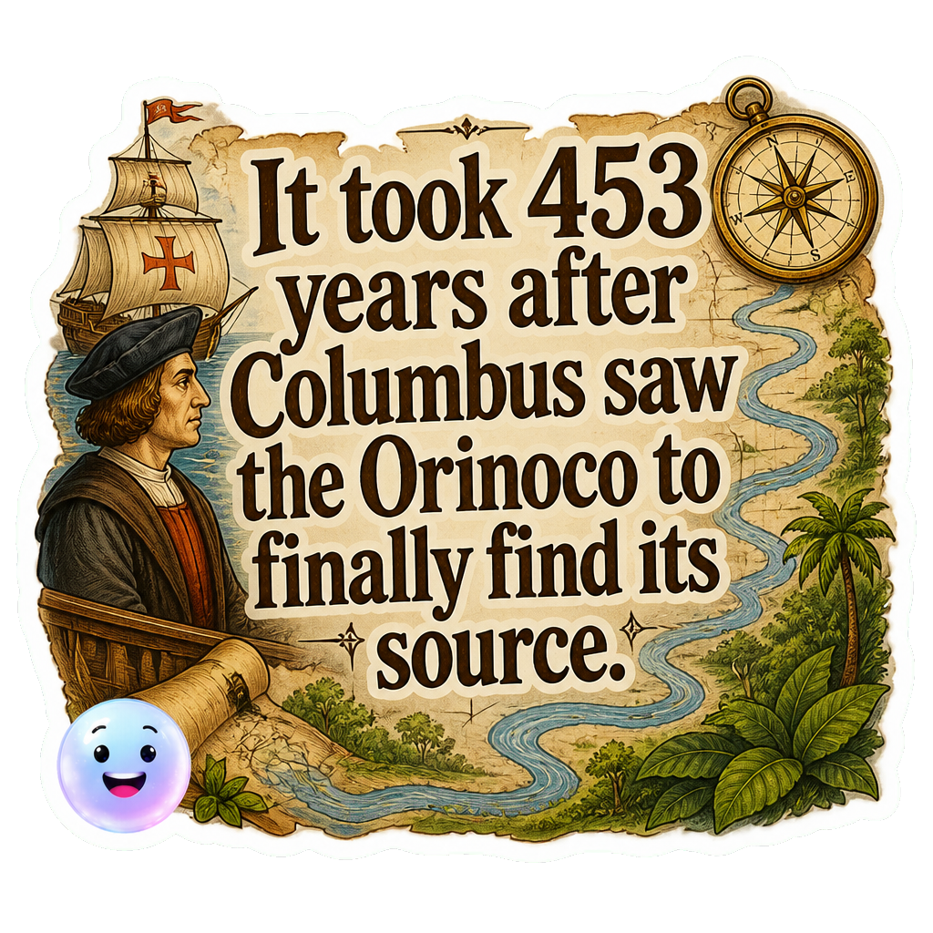
Orinoco's hidden source: It took 453 years after Columbus first saw the river's mouth for an expedition to finally discover its source in 1951.
The science or practice of drawing maps. Alexander von Humboldt used scientific cartography in 1800 to chart the Orinoco River's complex, untamed course.
Approximately what percentage of the upper Orinoco River's water is diverted into the Casiquiare Canal?
What is the narrowest point of the Orinoco River, historically known as Angostura, called today?
In what year did a French-Venezuelan expedition finally discover the source of the Orinoco River?
How many distinct stretches or sections is the Orinoco River typically divided into by geographers?
Which famous European explorer first recorded seeing the mouth of the Orinoco River in 1498?
What is the name of the unique natural canal that connects the Orinoco River to the Amazon River basin?